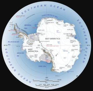
 Antarctica
The article says ‘The satellite measurements start in 1979’, but the USGS Landsat satellite project has been ‘imaging the Earth since 1972’. The researchers say in the abstract of their paper: ‘In stark contrast to the Arctic, there have been statistically significant positive trends in total Antarctic sea ice extent since 1979. However, the short and highly variable nature of observed Antarctic sea ice extent limits the ability to fully understand the historical context of these recent changes.’ The UK Met Office reported in October 2021: ‘Antarctic sea ice reached a maximum extent (to date) of 18.75 million sq km on 1st September 2021 (Figure 7), which is very close to the 1981-2010 average maximum extent of 18.70 million sq km.’
– – –
A study led by Ohio University researchers shows that the increase of sea ice surrounding Antarctica since 1979 is a unique feature of Antarctic…
View original post 418 more words

Recent Comments